Sustainability
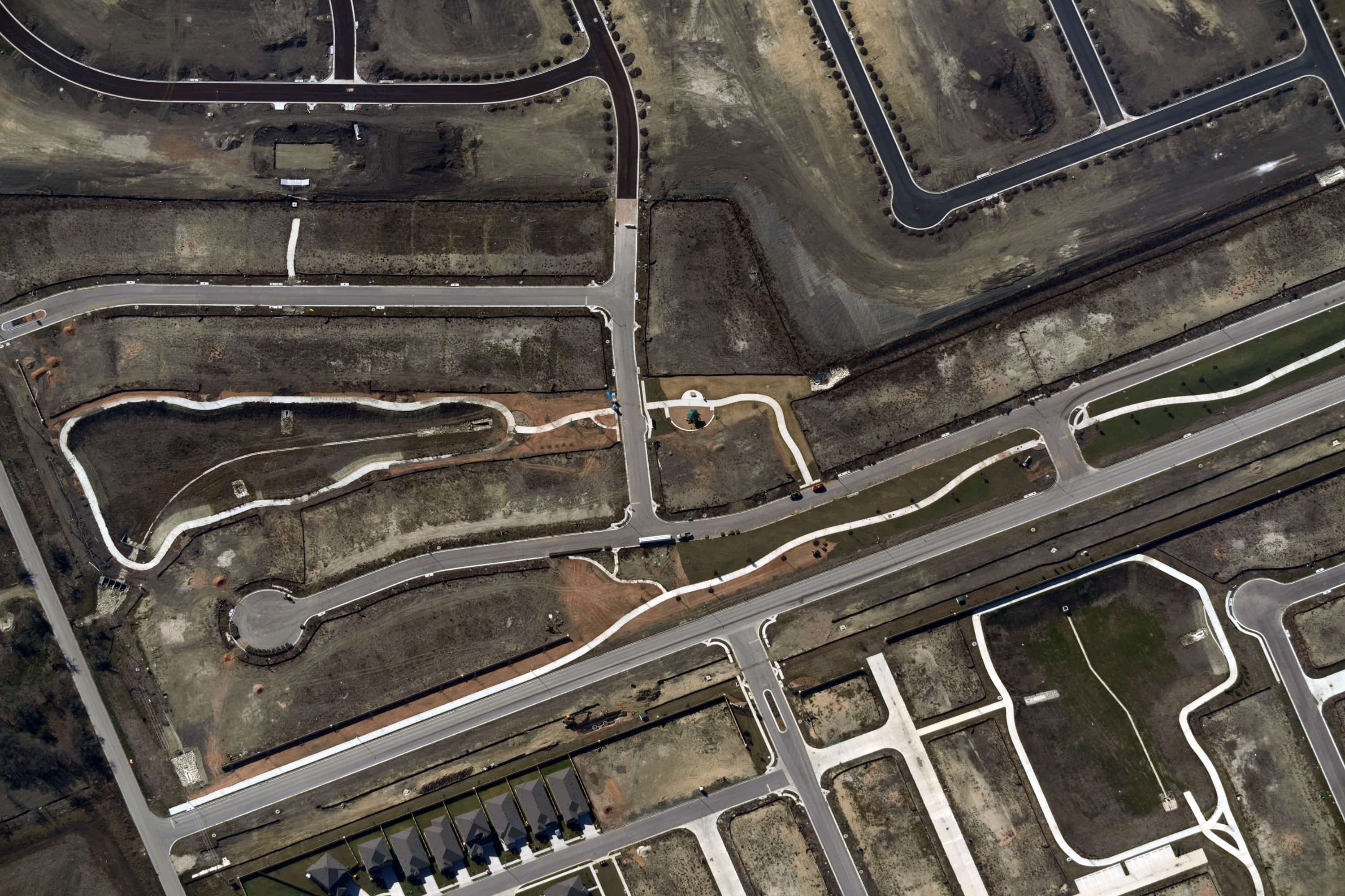
Resilience is about protecting what matters most: shelter, food, energy, and transportation. As weather events and environmental challenges become both more severe and more frequent, communities need geospatial data that can help them better identify, plan for, and mitigate risk.
Get a Demo
Why Now
Severe weather events are rising in frequency and intensity. The systems communities depend on — shelter, food, energy, and transportation — are under mounting pressure. Properties are harder to insure. Infrastructure is aging faster than it's being maintained. Supply chains are being disrupted by 100-year events every year.
And the gap keeps growing between the truth on the ground and the information available from legacy data platforms.
Awareness should not be a luxury. By making frequent, high-resolution geospatial data cost-effective, Near Space Labs puts the power of knowledge in the hands of businesses and communities.
Resilience spans four fundamental needs
Shelter
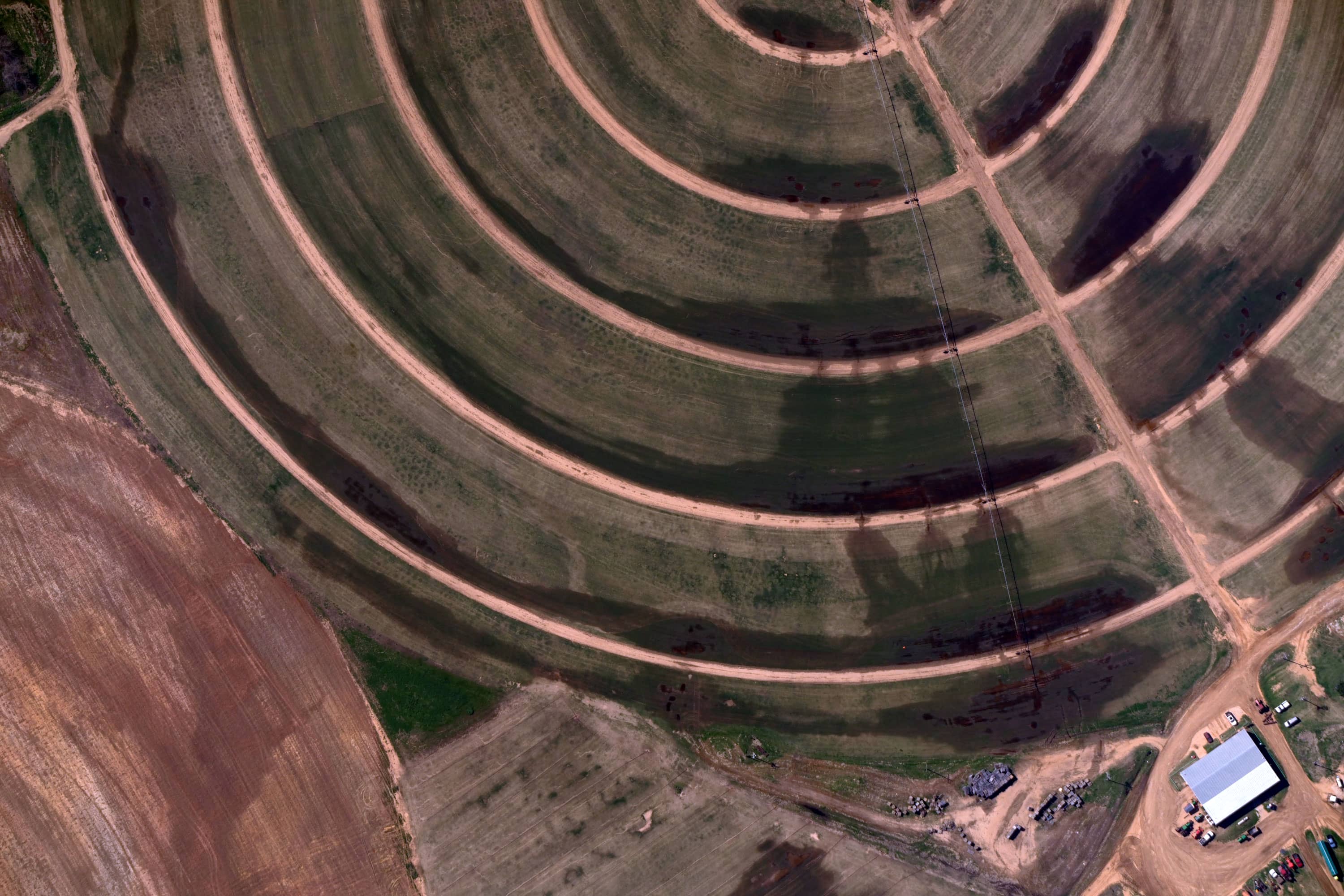
Food
Energy
Transportation