P&C Insurance
Property intelligence for every decision
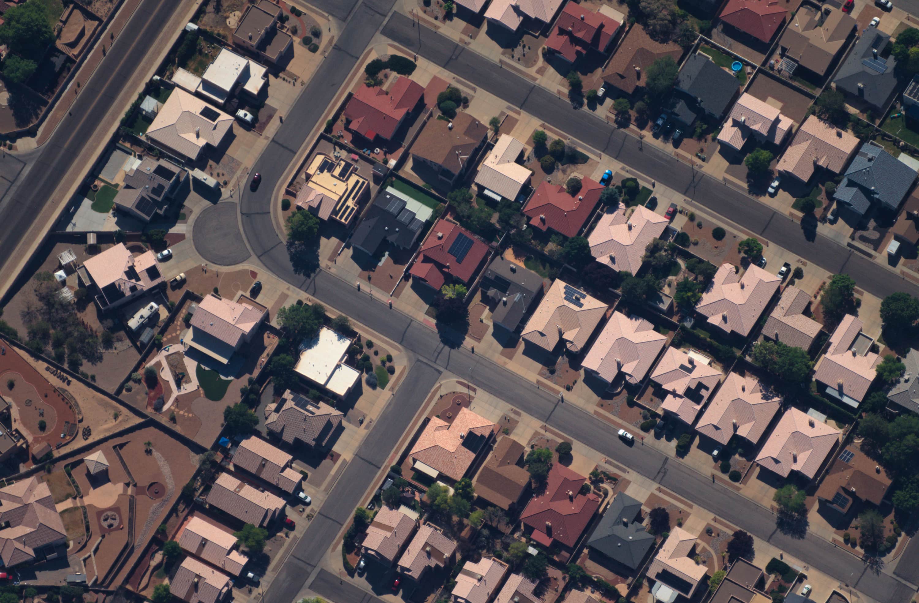
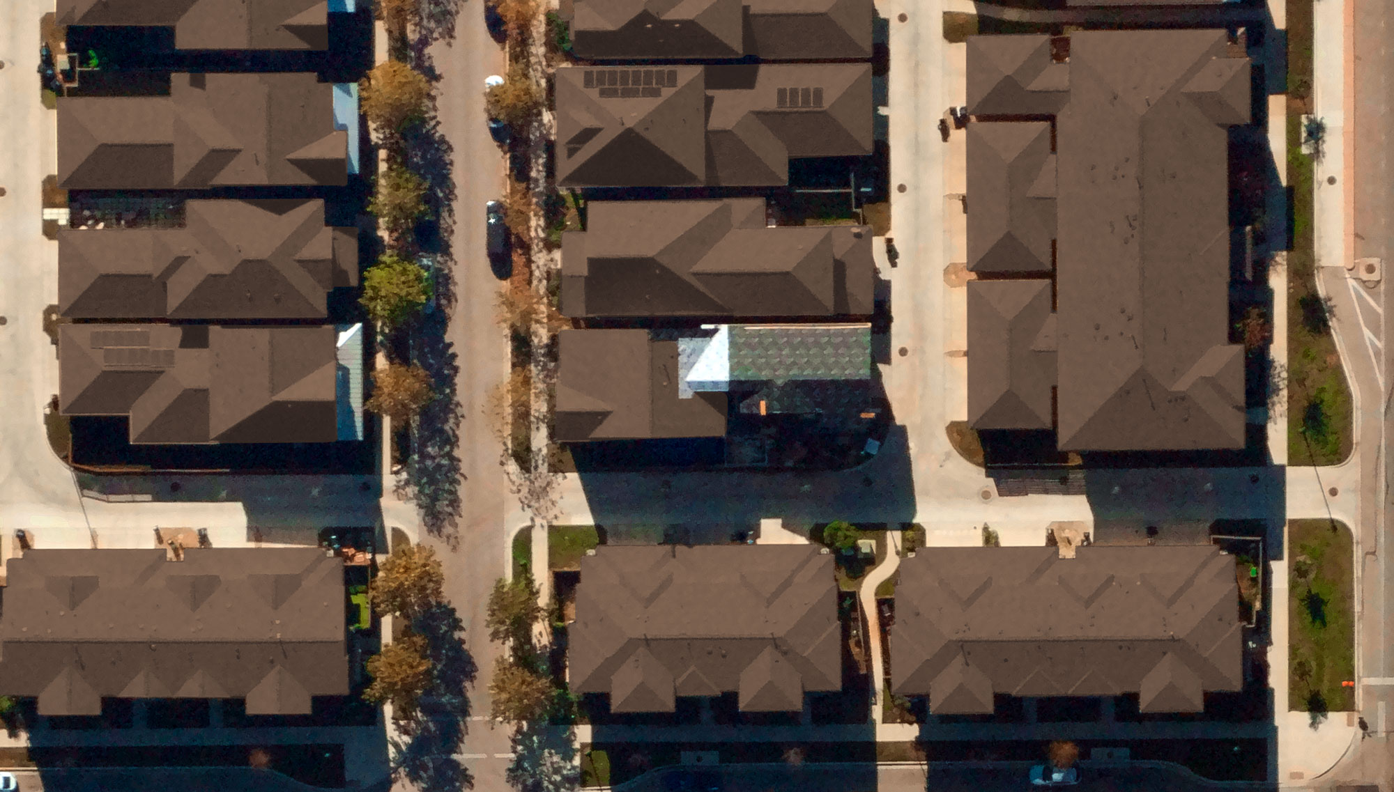
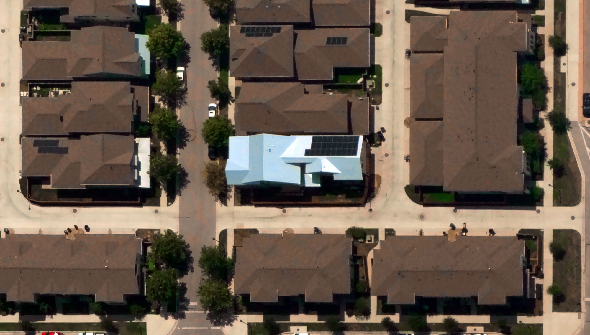
Near Space Labs delivers 7cm imagery nationwide, with a predictable refresh schedule. Benefit from high-quality imagery to drive your computer vision and risk models.
Get a Demo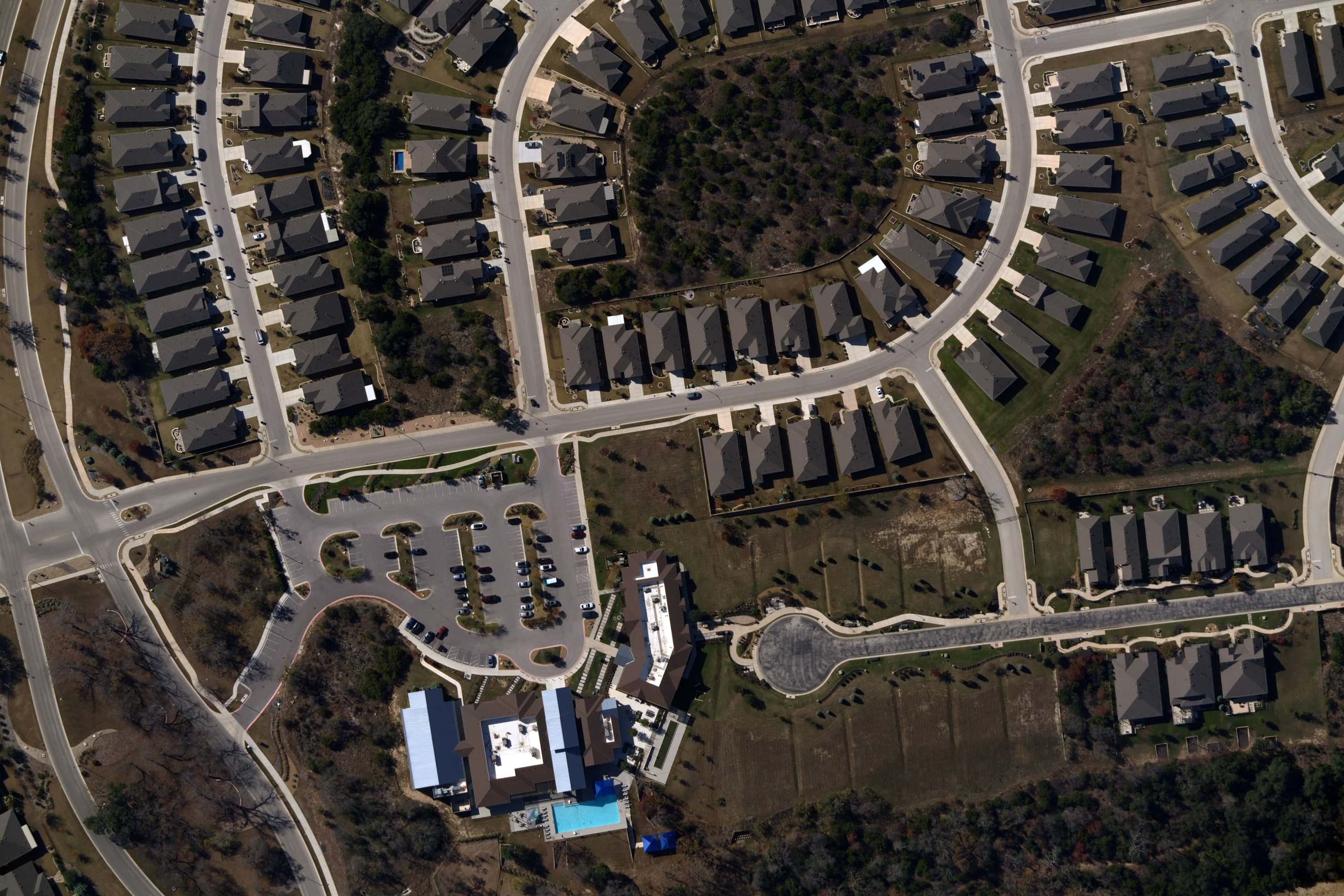
Geospatial data your business can depend on
The Challenge
Building reliable workflows using aerial data is hard. Coverage varies by region, imagery access is restricted, and long-term data partnerships are uncertain. Most providers leave you dependent on their terms, their resolution decisions, and their refresh schedules.
Our Approach
Near Space Labs delivers consistent 7cm imagery for 80% of the U.S. population, refreshed twice a year on a predictable schedule. You get full access to imagery to use as your business requires. Feed your models, diversify your sources of data, or supporting your existing workflows. Your access stays consistent with a gapless data pipeline.
Outcomes for P&C Insurance
Consistent resolution across every market
Proactive roof and property condition monitoring
Write policies in markets competitors can't see
Rapid damage assessment after severe weather
Recent blue sky data for precise ground truth for claims validation
Have a different use case in mind? Let's talk.
Accurate, high-resolution imagery for every scale and application