Our Story
Every ten days, there's a $1B weather catastrophe

We're still relying on Earth monitoring systems from the 1960s.
For too long, the only aerial imaging options have been human-operated aircraft flying inefficient "lawnmower" patterns, or expensive, far-away satellites that can't provide the resolution necessary for meaningful analysis.
The world needs modern solutions for modern challenges. That means seeing the Earth frequently, clearly, and at scale.
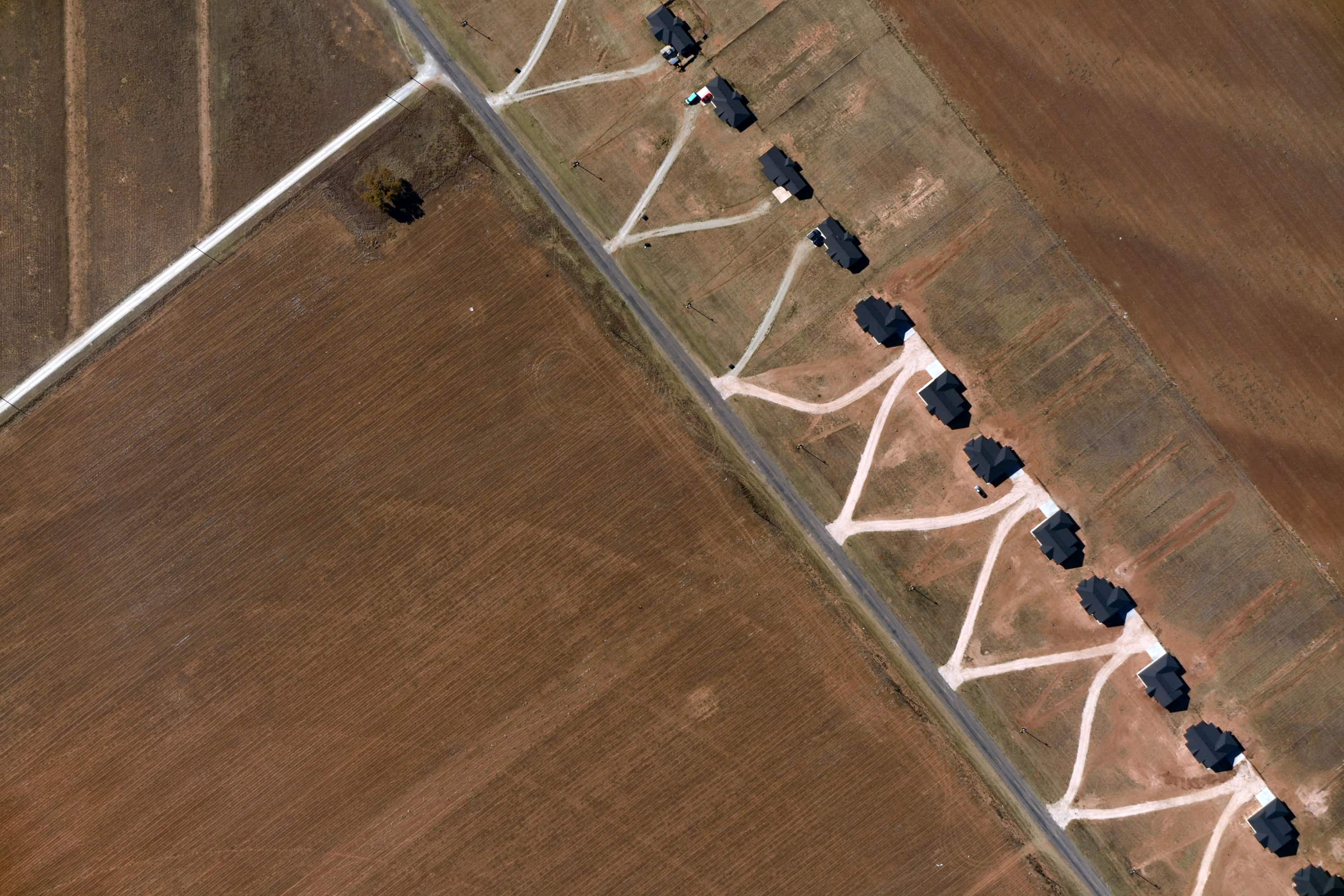
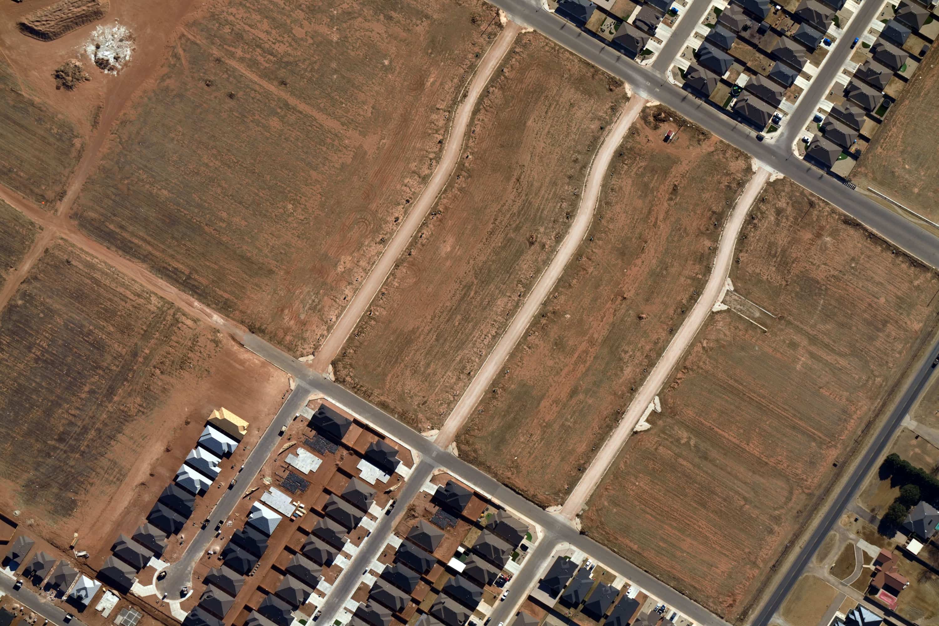
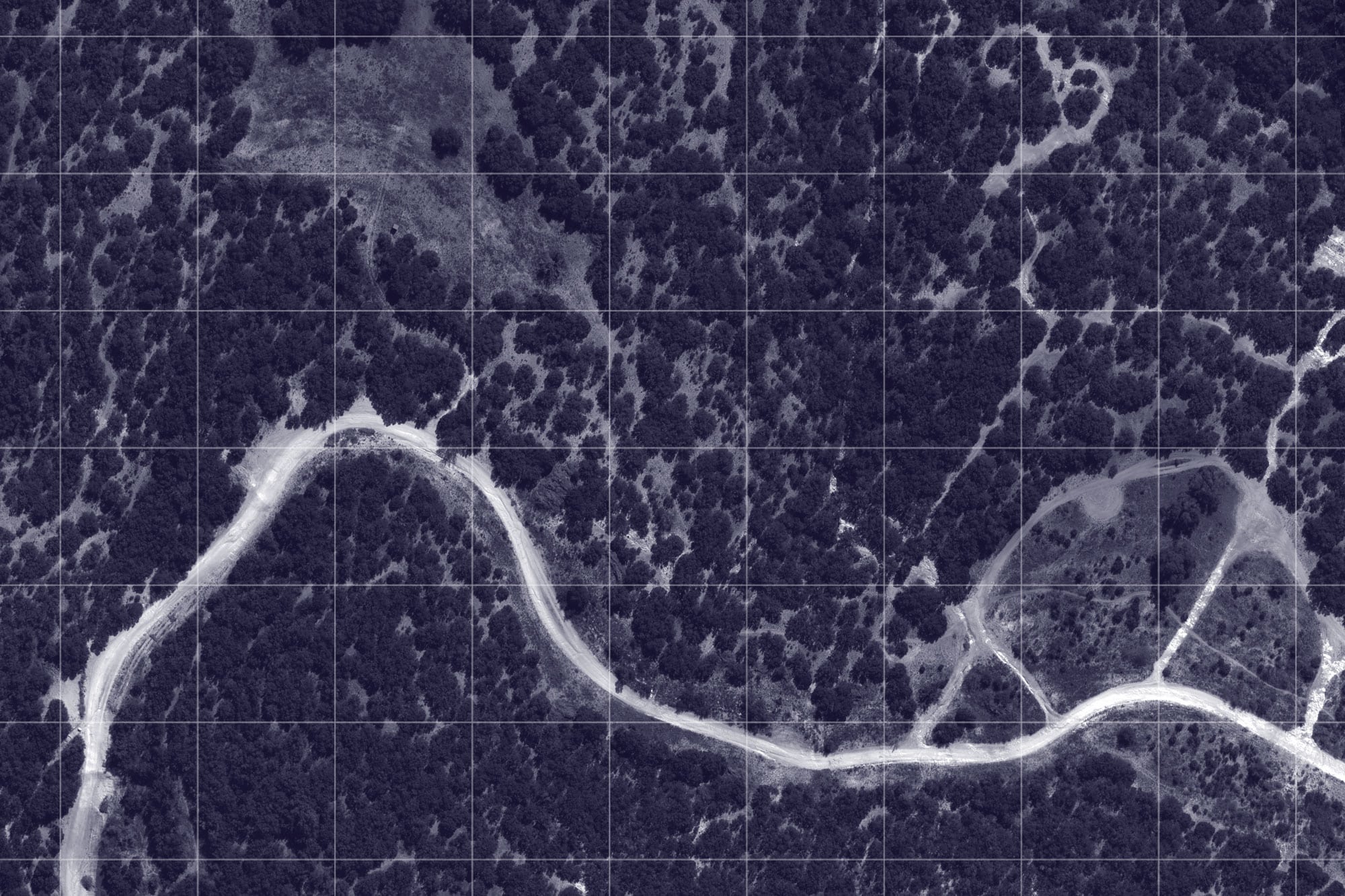
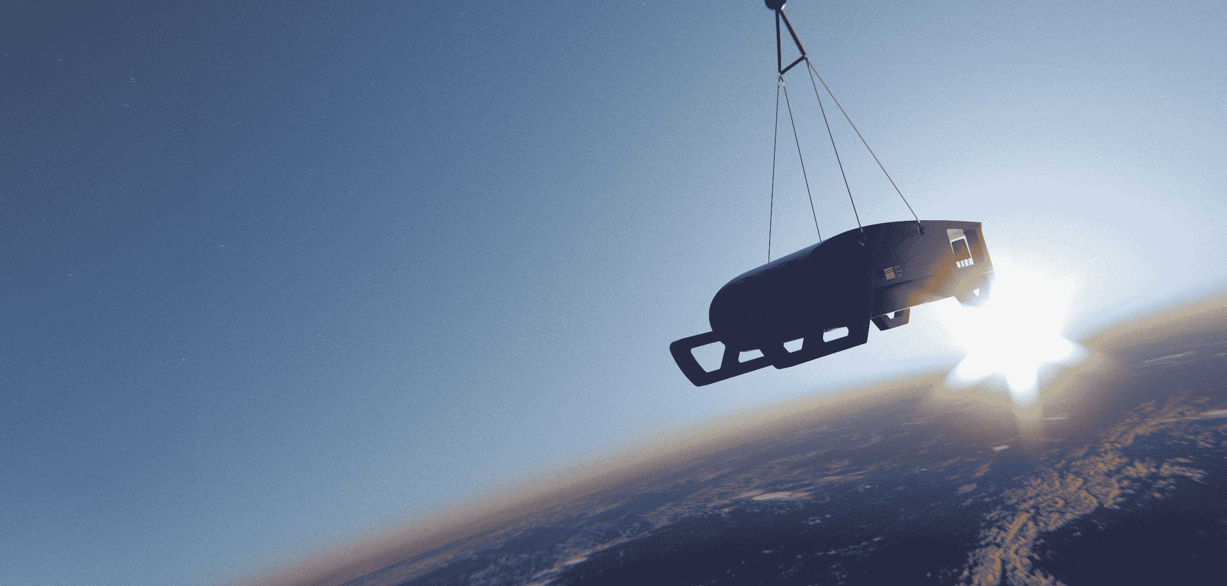
Near Space Labs is that solution. Our stratospheric robots fly at 65,000 feet, capturing high-resolution, high-frequency geospatial data across the landscapes that matter most.
Our mission: Provide Earth observation for business, community, and climate resilience.
Get a Demo