Mapping Technology
Imagery your mapping products depend on
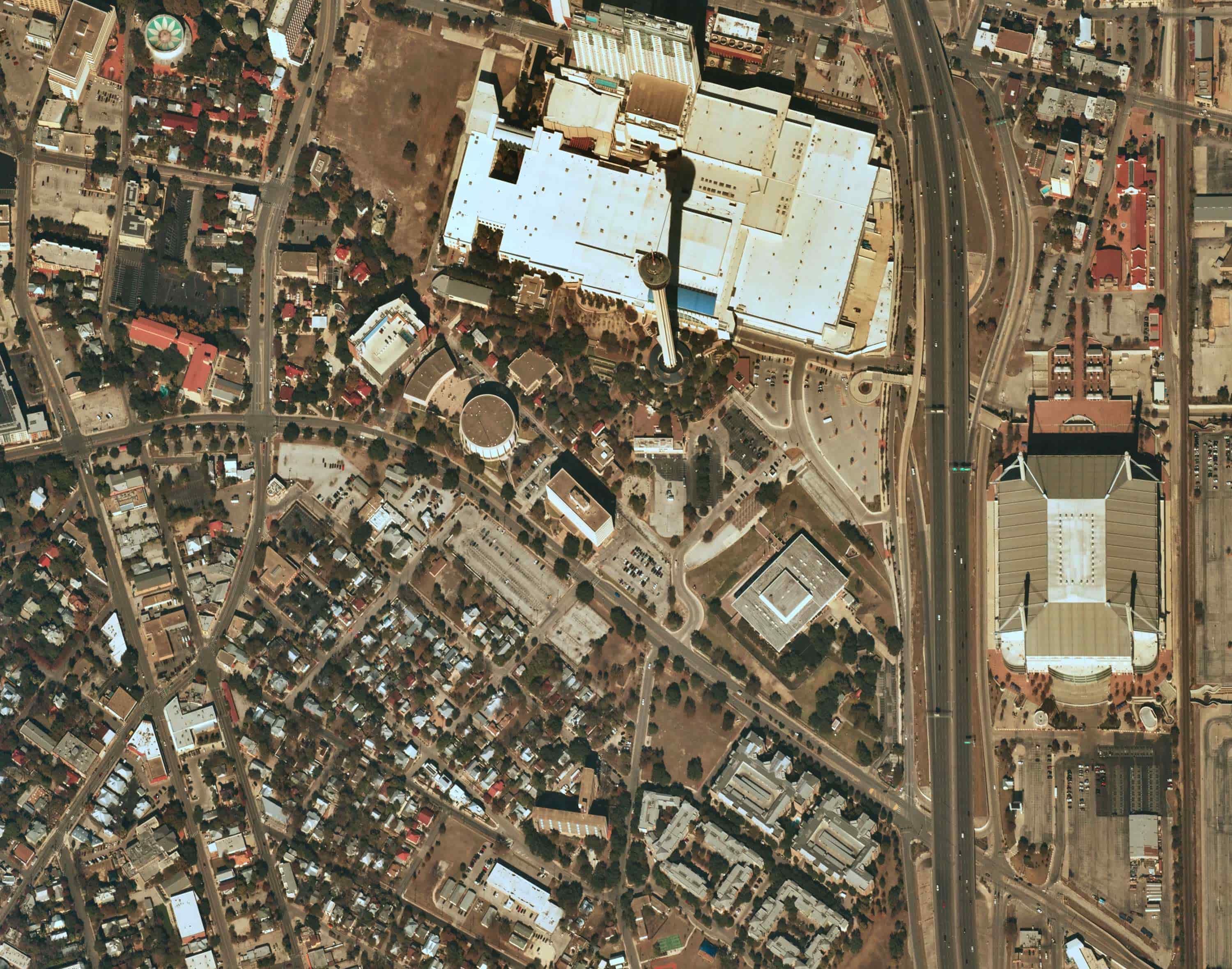
Mapping platforms, GIS providers, and analytics companies need reliable, high-resolution basemaps to power consumer-facing products, enterprise workflows, feature identification, and 3D visualizations. Near Space Labs delivers the consistent 7cm imagery that makes your products stronger.
Get a Demo.jpg)
Imagery at the resolution and frequency your products need
The Challenge
Mapping platforms are only as strong as the imagery that underpins them. Satellite and fixed wing programs struggle to deliver consistent resolution and reliable refresh cycles across your full coverage area, leaving gaps in the data your products depend on for feature extraction, 3D modeling, and accurate basemapping.
Our Approach
Near Space Labs delivers 7cm resolution imagery nationwide, refreshed twice a year on a predictable schedule. Broader coverage and more consistent resolution than satellite or fixed-wing programs, delivered via API or direct integration into your existing stack.
Outcomes for Mapping Technology
Enhanced basemap quality
Accurate feature identification at scale
Improved accuracy for 3D models
Reliable data refresh for enterprise workflows
Accurate, high-resolution imagery for every scale and application
.jpg)