Environmental Monitoring
Proactive ecosystem and biodiversity monitoring
Track vegetation health, animal habitats, wildfire zones, and environmental changes with consistent, high-resolution monitoring. Assess conditions across large areas, from the Wildland-Urban Interface to remote coastlines.
Get a Demo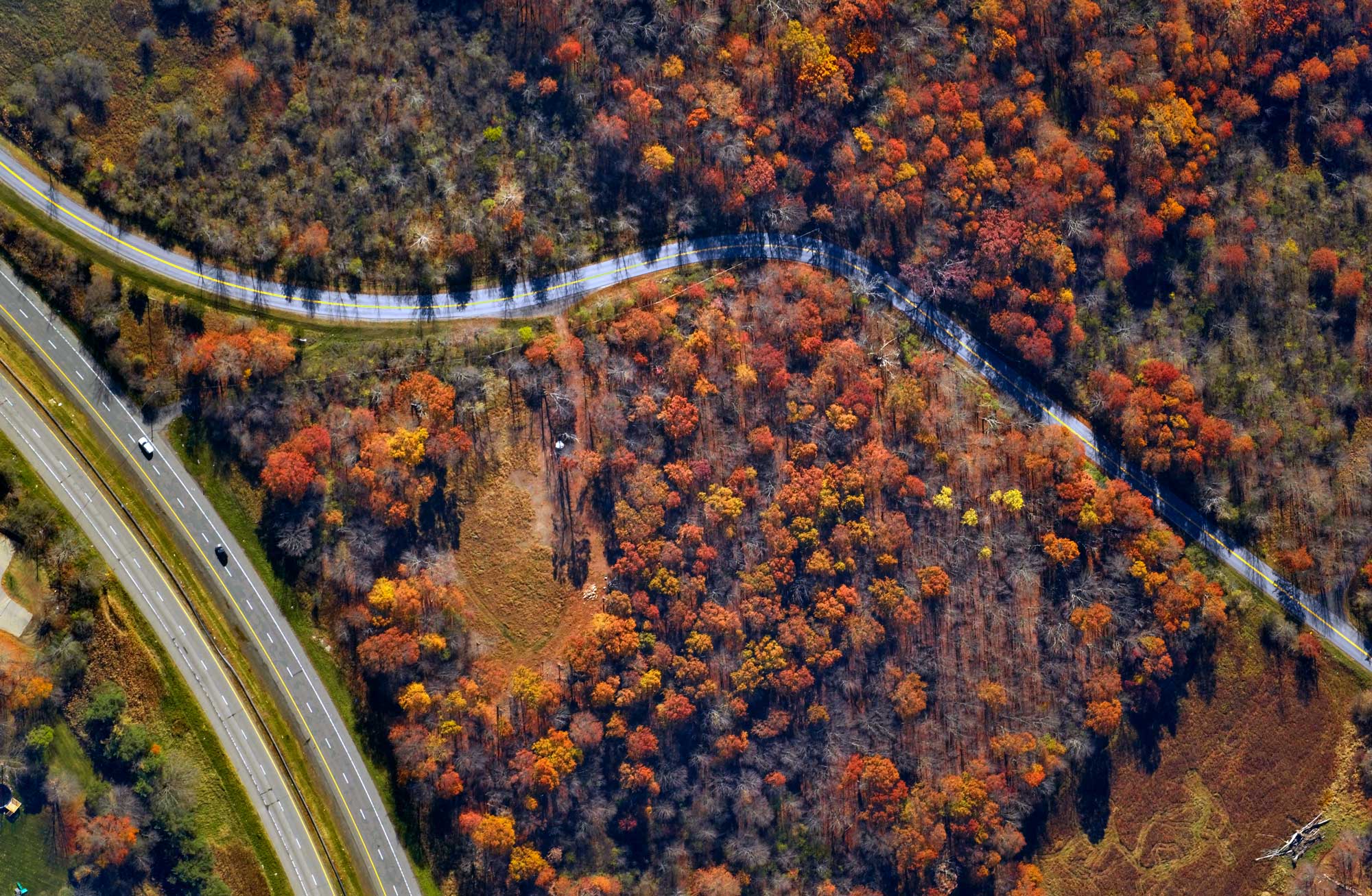
What You Get
Non-invasive operations
Leverage data capture that takes place 65,000 feet above Earth, to track ecosystems that matter without disrupting them.
7cm resolution
Detect changes in land use, biodiversity, and vegetation health not perceptible with lower-resolution satellite imagery.
Near infrared (NIR) and thermal infrared (TIR) capabilities
Assess vegetation health, soil moisture, and other environmental conditions with co-registered RGB and infrared mapping.
Ability to reach areas not accessible by road
Monitor large, hard-to-reach areas — from utility transmission corridors to remote coastlines — without the cost and complication of deploying boots on the ground.
Why this matters
Ecosystem changes don't wait for inspections. With consistent, high-resolution monitoring, organizations can assess wildfire risk, track reforestation, meet reporting requirements, and engage stakeholders in necessary problem-solving.
Who this serves
Forestry & Environment
- Precision Forestry
- Biodiversity Mapping
- Wildfire Mitigation
- Compliance & Reporting
Energy & Utilities
- System Mapping & Planning
- Asset Inspection
- Vegetation Management
- Wildfire Mitigation
State & Local Government
- GIS & Urban Planning
- Property Assessment
- Risk Mapping & Mitigation
- Public Works
- Transportation