Forestry & Environment
Monitor forests, habitats, and ecosystems at scale
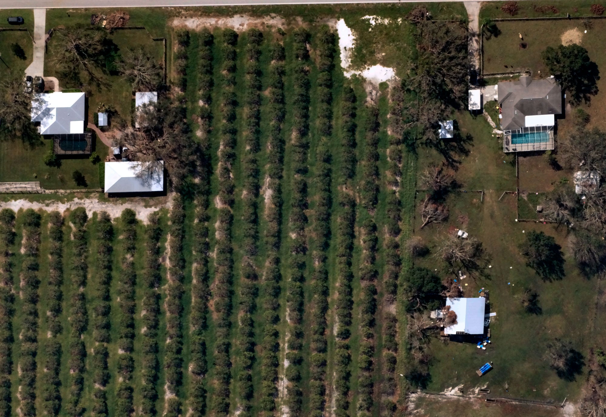
Forestry organizations, conservation groups, and environmental agencies need consistent visibility into remote landscapes to track forest health, map biodiversity, verify carbon offsets, and manage wildfire exposure. Near Space Labs delivers 7cm resolution imagery with multispectral capabilities that make large-scale environmental monitoring practical and affordable.
Get a Demo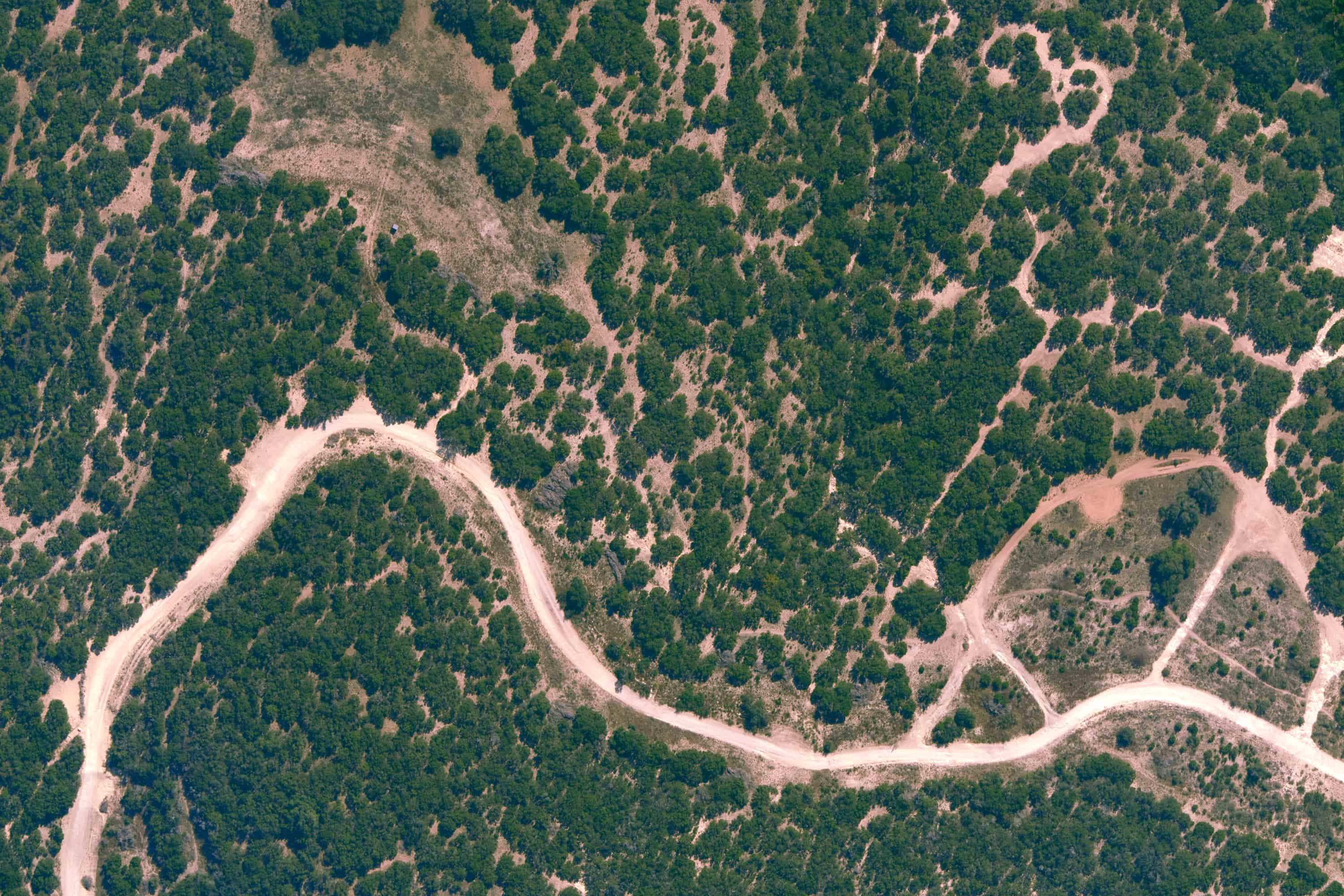
The resolution to verify what competitors can't see
The Challenge
Monitoring forests and ecosystems across large, remote areas is costly and logistically complex. Satellite imagery offers broad coverage but lacks the resolution to assess tree health, map species composition and biodiversity, verify carbon sequestration claims, or detect wildfire indicators. Fixed-wing aircraft are expensive and impractical for frequent assessments across hard-to-reach wilderness areas.
Our Approach
Near Space Labs delivers 7cm resolution imagery with near-infrared capabilities across vast forested regions, cost effectively and on a consistent schedule. Our refresh cadence gives forestry organizations, conservation groups, and carbon programs the reliable monitoring data they need to support precision forestry operations, map biodiversity and habitat conditions, verify carbon MRV claims, and manage wildfire mitigation, all on a schedule that meets compliance requirements.
Outcomes for Forestry & Environment
Precision forestry and timber inventory management
Supporting MRV reporting
Wildfire exposure assessment and fuel load monitoring
Biodiversity mapping and habitat monitoring
Post-fire recovery and reforestation tracking
Accurate, high-resolution imagery for every scale and application
.jpg)