State & Local Government
Plan, monitor, and respond with accurate ground truth
State and local government agencies need current, reliable geospatial data to meet the daily needs of their communities and plan for the future. Near Space Labs delivers consistent 7cm resolution across communities, with the operational flexibility to get the most from limited budgets.
Get a Demo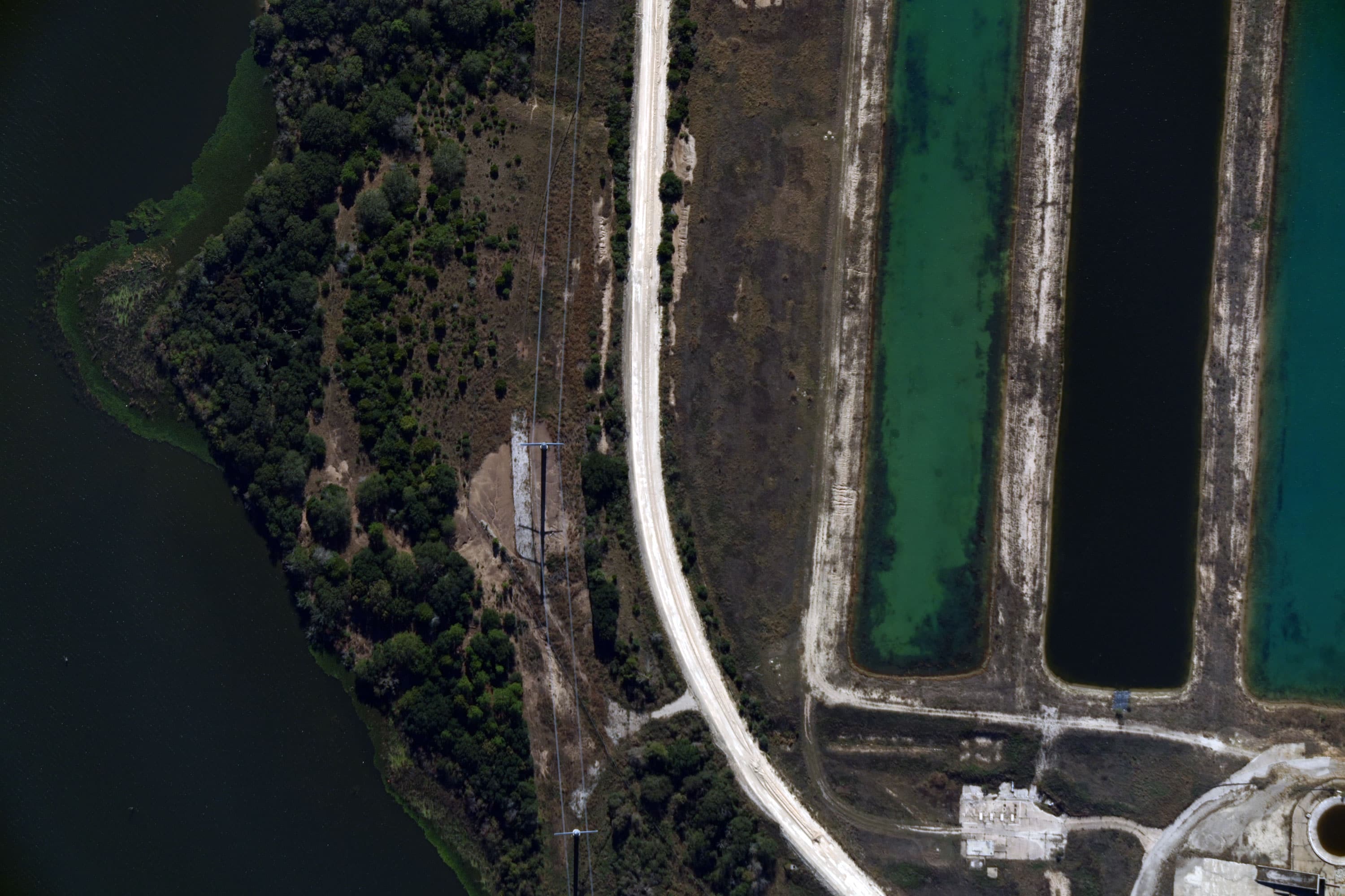

Up-to-date imagery for your jurisdiction, on a budget you can work with
The Challenge
Government agencies manage complex, evolving infrastructure across dense and remote areas. Legacy imagery programs force impossible tradeoffs. Satellites offer broad coverage but unpredictable revisit rates, while fixed-wing aircraft deliver quality in population centers but are cost-prohibitive for statewide programs. Without current imagery, GIS databases fall behind, property assessments become unreliable or too manual, and public works and transportation departments make planning decisions on outdated information.
Our Approach
Near Space Labs delivers consistent 7cm resolution across entire states or targeted municipalities on annual or semi-annual schedules. Whether you're updating a GIS database, assessing property conditions, planning public works projects, managing hazard zones, or overseeing transportation infrastructure, you get the same quality across your entire jurisdiction on a predictable schedule that fits your planning and procurement cycles. Our imagery integrates directly into Esri platforms including ArcGIS, fitting seamlessly into the workflows your GIS office already uses.
Outcomes for State & Local Government
Statewide orthoimagery
Remote property assessment and compliance monitoring
Public works and transportation planning
Forestry and natural resource management
Hazard mapping and disaster preparedness
Accurate, high-resolution imagery for every scale and application
.jpg)