Real-Time Wildfire Monitoring with USDA
Challenge
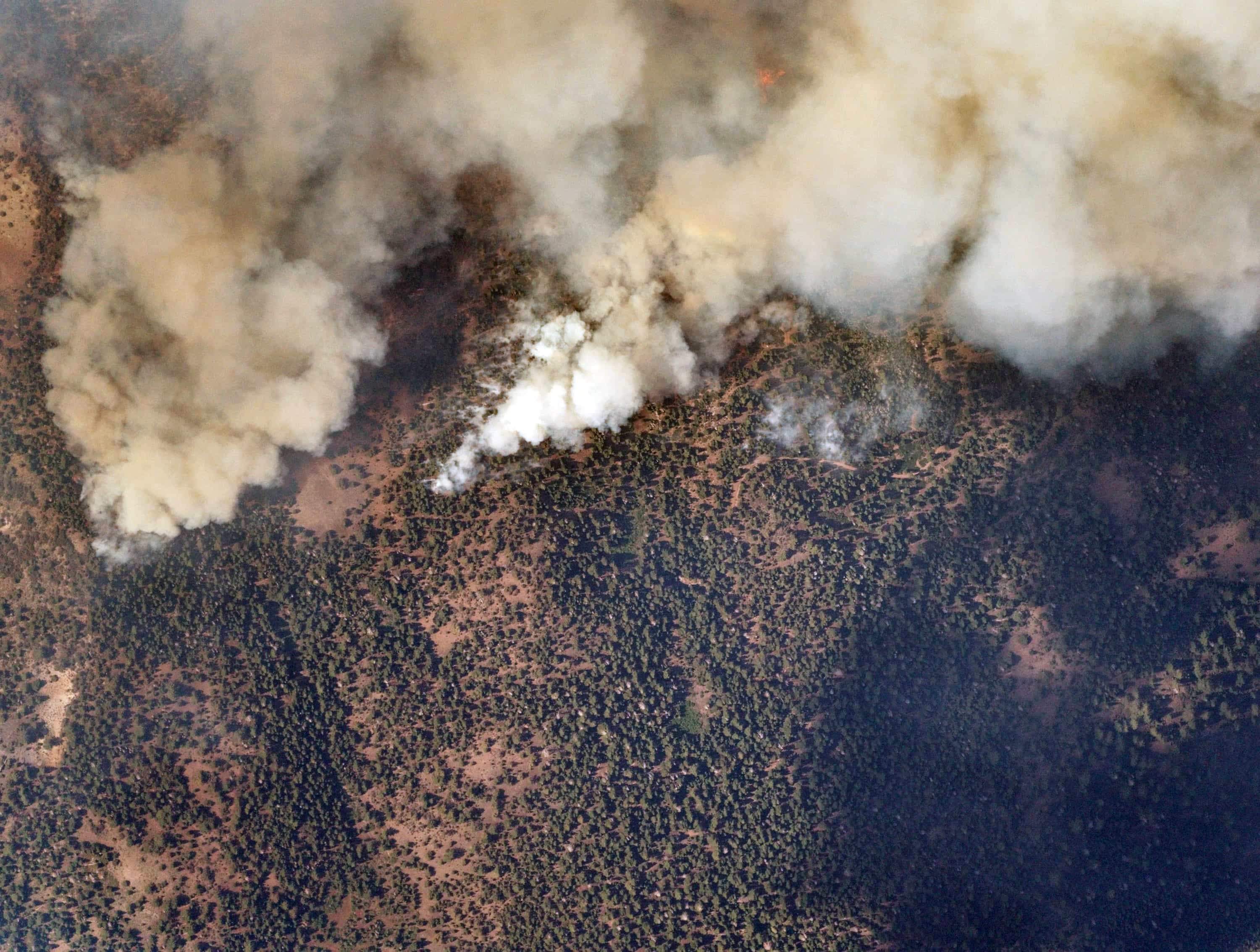
Wildfire severity in the U.S. has increased significantly over the past several decades, with fire seasons growing longer and harder to contain. Traditional detection methods face real limitations: aircraft are expensive with short flight times, satellite imagery lacks the resolution and revisit frequency needed for active fire monitoring. Firefighters and first responders are often working with incomplete, delayed information when situational awareness matters most.
Near Space Labs' Solution
Near Space Labs is developing stratospheric thermal imaging for wildfire detection and monitoring in partnership with the USDA. Our Swifts operate at 65,000 feet with long flight times, delivering continuous wide-area coverage and high-resolution thermal imagery. Equipped with infrared sensors, they detect heat and fire presence at a level of granularity that satellites and traditional aerial providers cannot match, without interfering with low-flying firefighting aircraft.
Outcome
Emergency crews get the real-time geospatial data they need to coordinate evacuations, deploy resources to active hotspots, and track fire evolution in hard-to-reach areas. Faster, better-coordinated response supported by current, accurate imagery.